
UAV AI-Powered HSI: A New Era in Smart Monitoring
author: Callum
2024-10-28
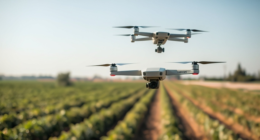
The integration of UAVs (unmanned aerial vehicles) with hyperspectral imaging (HSI) and artificial intelligence (AI) is revolutionizing industries such as agriculture, environmental monitoring, and resource management. By combining the detailed spectral data captured by HSI with AI’s advanced analysis capabilities, this technology offers a highly precise, efficient, and automated solution for various challenges.
How UAV-Based Hyperspectral Imaging Works
Hyperspectral imaging collects spectral data across hundreds of wavelengths for each pixel in an image. This creates a highly detailed spectral "fingerprint" for every object, revealing information beyond what is visible to the naked eye. When mounted on UAVs, this technology allows for large-area coverage, flexible deployment, and high spatial resolution.
AI’s Role in Hyperspectral Data Analysis
The data generated by hyperspectral imaging can be overwhelming due to its sheer volume and complexity. This is where AI comes into play. Machine learning algorithms are trained to process and analyze the vast amount of spectral data, identifying patterns and classifying materials automatically. This reduces the time and effort required for manual data interpretation, providing faster, more accurate results.
Key Applications of UAV-Based Hyperspectral and AI Integration
1. Precision Agriculture
AI-powered hyperspectral imaging enables UAVs to monitor crop health, detect early signs of disease, and assess nutrient levels in real-time. By analyzing subtle spectral changes in plant reflectance, AI can accurately predict yield, allowing for more efficient resource use and crop management.
AI-powered hyperspectral imaging enables UAVs to monitor crop health, detect early signs of disease, and assess nutrient levels in real-time. By analyzing subtle spectral changes in plant reflectance, AI can accurately predict yield, allowing for more efficient resource use and crop management.
2. Environmental Monitoring
In environmental management, hyperspectral imaging combined with AI can detect pollution, track changes in ecosystems, and monitor water quality. UAVs equipped with these systems can cover vast areas and identify contaminants based on their spectral signatures, providing critical information for decision-making in environmental protection efforts.
In environmental management, hyperspectral imaging combined with AI can detect pollution, track changes in ecosystems, and monitor water quality. UAVs equipped with these systems can cover vast areas and identify contaminants based on their spectral signatures, providing critical information for decision-making in environmental protection efforts.
3. Mineral Exploration and Land Use
UAV-based HSI, enhanced by AI, is a powerful tool for identifying mineral deposits, soil contamination, and other subsurface features. The system’s ability to differentiate between various materials, based on their spectral characteristics, makes it ideal for mineral mapping and land-use planning.
UAV-based HSI, enhanced by AI, is a powerful tool for identifying mineral deposits, soil contamination, and other subsurface features. The system’s ability to differentiate between various materials, based on their spectral characteristics, makes it ideal for mineral mapping and land-use planning.
Advantages of Combining UAV, Hyperspectral Imaging, and AI
- Efficiency and Speed: UAVs can rapidly cover large areas, while AI quickly processes the hyperspectral data, enabling near real-time analysis.
- Accuracy: AI-driven interpretation minimizes human error, providing highly accurate insights, particularly in applications like disease detection or pollutant identification.
- Cost-Effectiveness: Automating the data analysis process with AI reduces the need for extensive manpower and time, lowering overall costs for monitoring projects.
- Non-Invasive: Hyperspectral imaging is a non-invasive technology, making it suitable for sensitive environments such as conservation areas or cultural heritage sites.
The Future of UAV and AI-Driven Hyperspectral Imaging
As UAVs, hyperspectral imaging, and AI technologies continue to evolve, their combined potential will expand into new areas. From precision medicine to disaster response, the ability to monitor, analyze, and predict outcomes using spectral data will open up new opportunities for research, monitoring, and management.
By leveraging AI to handle the complex data produced by UAV-based hyperspectral imaging, industries can make more informed decisions, improving efficiency and sustainability in operations.
Hyperspectral Paddy Weed Identification Solution
What is Hyperspectral Imaging
Related Article

Discover Optosky’s air–ground collaborative hyperspectral solution for mine ecological restoration monitoring. Combining UAV hyperspectral imaging, fixed-point rotating-scan systems, and field spectroradiometers, it supports vegetation, soil, mineral alteration, and water environment monitoring for green mine evaluation and restoration acceptance.
Applications | Hyperspectral Mine Restoration Monitoring
Compare single InGaAs and CMOS+InGaAs detector architectures in hyperspectral imaging. Learn why both can cover 400–1700 nm, how visible-light-extended InGaAs works, and the trade-offs in calibration, spectral registration, and system integration for applications in agriculture, food safety, and industrial inspection.
Technology | Single InGaAs vs. CMOS+InGaAs in Hyperspectral Imaging
Discover how hyperspectral imaging combined with multi-feature fusion (PCA + 2DCOS + CARS) enables non-destructive three-level grading of chili pepper sunburn with 97.2% accuracy. Learn about the ATH3000 system and Optosky's customized solutions for horticultural crop quality inspection and damage classification.
Can Sunburned Chili Peppers Be Non-Destructively Graded? Hyperspectral Imaging ATH3000 Offers a New Answer
Discover the Optosky ATH9600 multi-lens UAV-borne multispectral imaging system—featuring 67° ultra-wide FOV, synchronous snapshot, 3.75 μm large pixel, and native DJI X-Port integration. Ideal for large-area farmland monitoring, orchard management, pest early warning, water quality inversion, and complex crop classification. Born for efficient, all-weather low-altitude remote sensing.
Born for Large-Area Remote Sensing! Optosky Releases the ATH9600 Multi-Lens UAV-Borne Multispectral Imaging System