
Hyperspectral Paddy Weed Identification Solution
author: Callum
2024-11-05
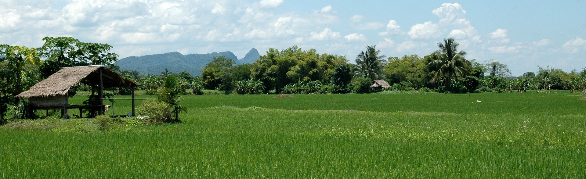
01 Experimental Background
Weeds, as typical agricultural pests, pose a significant threat to crop growth. With population growth and the COVID-19 pandemic impacting food supply, rice (Oryza sativa L.), a major global food crop, plays a critical role in food security. Paddy field weeds are a major factor that negatively affects rice growth and yield, underscoring the need for effective management.
Current weed control methods primarily include manual, mechanical, and chemical means, with chemical control being the most widely used due to its cost-effectiveness and efficiency. However, improper herbicide use can pose risks to human health, the environment, and ecosystems. Precision herbicide application has emerged as a solution to these concerns.
Optosky applies spectral analysis and feature extraction technology combined with machine learning algorithms to achieve effective barnyard grass (Echinochloa crus-galli) identification!
Current weed control methods primarily include manual, mechanical, and chemical means, with chemical control being the most widely used due to its cost-effectiveness and efficiency. However, improper herbicide use can pose risks to human health, the environment, and ecosystems. Precision herbicide application has emerged as a solution to these concerns.
Optosky applies spectral analysis and feature extraction technology combined with machine learning algorithms to achieve effective barnyard grass (Echinochloa crus-galli) identification!
02 Experimental Design
Hyperspectral Imaging’s Advantages: Hyperspectral imaging technology combines 2D imaging and spectral analysis, offering high resolution, large information capacity, and fast detection speeds. UAV hyperspectral devices provide rich spectral information, offering great potential in weed mapping. Barnyard grass identification within paddy fields using low-altitude remote sensing aligns closely with practical agricultural conditions, and weed spatial distribution mapping can effectively guide precision herbicide application.
- The ATH9010 UAV-based hyperspectral system is used in this study to collect low-altitude remote sensing images of paddy fields.
- Spectral analysis and feature extraction technology, combined with machine learning algorithms, enable effective barnyard grass identification, saving both labor and resources.
Advantages: Wide-area monitoring, non-destructive detection, sample integrity maintenance, and spatial distribution information capture.
1. Image Collection
Black and white reflectance boards were placed within the flight area for radiometric correction. The flight altitude was set to 30 meters to achieve higher spatial resolution.
Advantages: Wide-area monitoring, high ground resolution, non-destructive testing, sample integrity maintenance, and full-area spatial distribution capture.
2. Data Preprocessing
The collected images were stitched and radiometrically corrected, converting pixel brightness to reflectance values. Four sample types—rice, barnyard grass, mature barnyard grass, and background—were selected to ensure sample variability and enhance model generalization.
3. Spectral Preprocessing
Smoothing techniques like Savitzky-Golay filtering were applied to the raw spectral data to reduce noise.
Advantages: Improved data quality, noise reduction, enhanced spectral signal features, and reliable analysis.
4. Feature Selection
Hyperspectral imaging provides spectral data for rice and weeds, with the Successive Projections Algorithm (SPA) used to extract primary feature components from the spectral data. The most informative subset of features was selected from the original high-dimensional dataset, improving model performance and reducing data dimensionality. Key bands were selected based on the lowest root mean square error (RMSE) principle.
Advantages: Enhanced model performance, model simplification, and reliable spectral signal feature extraction.
5. Model Development
A model was created using selected feature wavelengths and classification samples, with various methods—Random Forest, Support Vector Machine, 1D Convolutional Neural Network, and 3D Convolutional Neural Network—compared for classification accuracy.
Using the weed spatial distribution map, barnyard grass pixels were extracted via image binarization, highlighting target contours and displaying barnyard grass distribution. In block-managed agriculture, accurately obtaining weed coverage or infestation levels provides strong support for pest control and precision farming.
A barnyard grass density map was created by dividing binary images into blocks and calculating the weed pixel proportion per block, assigning density levels from 1 to 5.
03 Conclusion
Hyperspectral imaging effectively identifies weeds in complex field conditions, accurately distinguishing rice from weeds. Integrating spectral and imaging information provides a comprehensive data foundation for enhanced accuracy and reliability in weed detection. Savitzky-Golay filtering enhanced rice-barnyard grass differentiation, while SPA feature bands combined with classification algorithms enabled efficient weed extraction. The identification results are presented in spatial distribution and density maps, closely linked to practical agricultural operations and supporting precision farming.
Real-Time Water Quality Monitoring with Hyperspectral Remote Sensing
UAV AI-Powered HSI: A New Era in Smart Monitoring
Related Article

Discover Optosky’s air–ground collaborative hyperspectral solution for mine ecological restoration monitoring. Combining UAV hyperspectral imaging, fixed-point rotating-scan systems, and field spectroradiometers, it supports vegetation, soil, mineral alteration, and water environment monitoring for green mine evaluation and restoration acceptance.
Applications | Hyperspectral Mine Restoration Monitoring
Compare single InGaAs and CMOS+InGaAs detector architectures in hyperspectral imaging. Learn why both can cover 400–1700 nm, how visible-light-extended InGaAs works, and the trade-offs in calibration, spectral registration, and system integration for applications in agriculture, food safety, and industrial inspection.
Technology | Single InGaAs vs. CMOS+InGaAs in Hyperspectral Imaging
Discover how hyperspectral imaging combined with multi-feature fusion (PCA + 2DCOS + CARS) enables non-destructive three-level grading of chili pepper sunburn with 97.2% accuracy. Learn about the ATH3000 system and Optosky's customized solutions for horticultural crop quality inspection and damage classification.
Can Sunburned Chili Peppers Be Non-Destructively Graded? Hyperspectral Imaging ATH3000 Offers a New Answer
Discover the Optosky ATH9600 multi-lens UAV-borne multispectral imaging system—featuring 67° ultra-wide FOV, synchronous snapshot, 3.75 μm large pixel, and native DJI X-Port integration. Ideal for large-area farmland monitoring, orchard management, pest early warning, water quality inversion, and complex crop classification. Born for efficient, all-weather low-altitude remote sensing.
Born for Large-Area Remote Sensing! Optosky Releases the ATH9600 Multi-Lens UAV-Borne Multispectral Imaging System