
UAV Hyperspectral LAI Inversion of Suaeda salsa
author: Callum
2024-12-06
1. Introduction
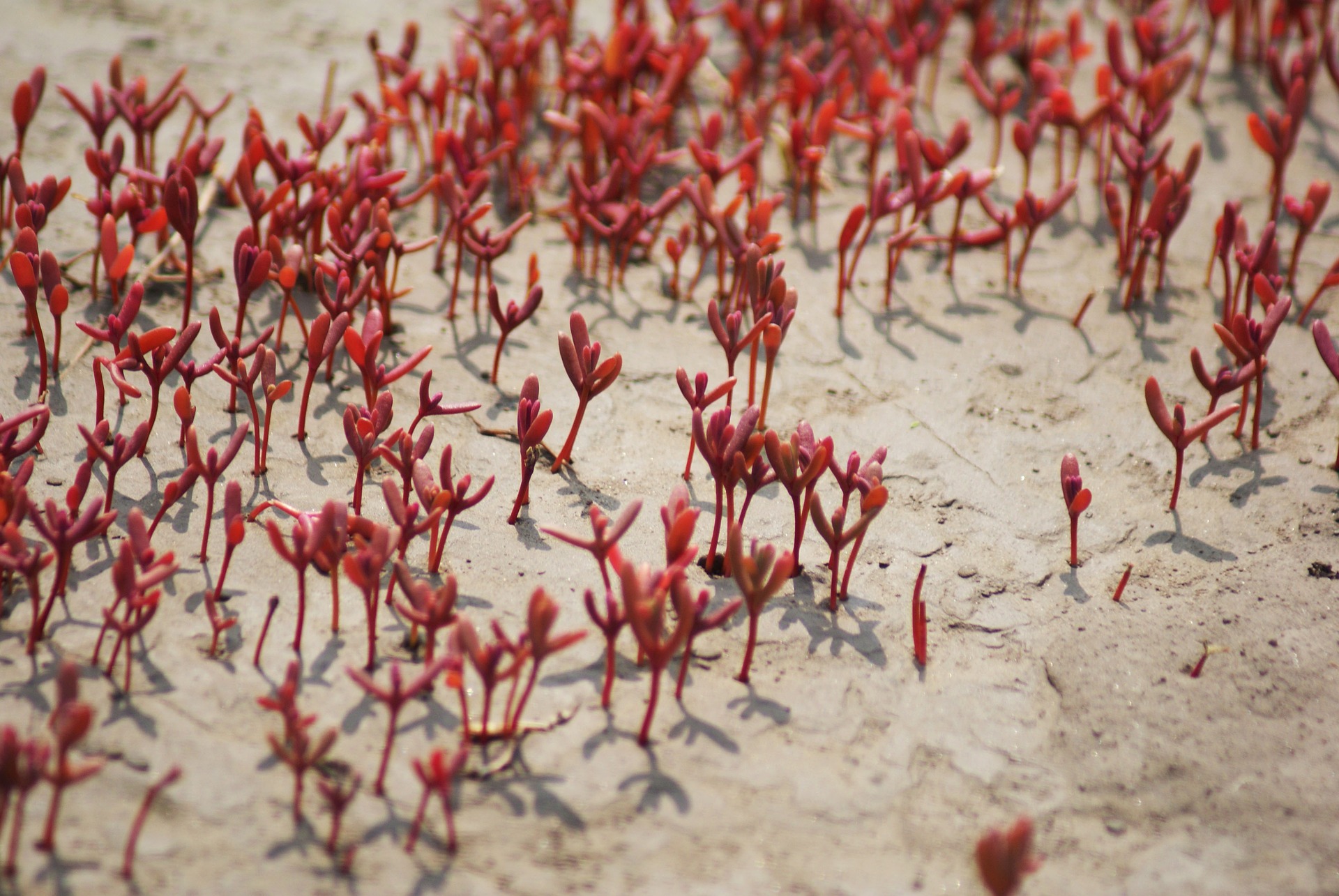
Suaeda salsa, an important soil-improving plant in coastal wetlands, is widely distributed in saline-alkali lands in eastern and northern China. It plays a vital role in the restoration of wetland ecosystems and soil improvement. However, in recent years, Suaeda salsa's growth has faced many challenges due to environmental changes and human activities, leading to a gradual decrease in its coverage area and a consequent degradation of ecological functions. Accurate and timely estimation of the Leaf Area Index (LAI) of Suaeda salsa is crucial for ecological research and serves as an important indicator for monitoring the health of wetland ecosystems.
Traditional LAI measurement methods, such as optical sensors and manual sampling, are often constrained by operational complexity, spatial coverage limitations, and high costs. With the rapid development of remote sensing technology, especially hyperspectral remote sensing, LAI inversion based on hyperspectral imagery has become an effective, non-destructive alternative. Hyperspectral remote sensing provides higher spectral resolution, enabling finer extraction of vegetation information, which is particularly advantageous in wetland ecological monitoring.
This study aims to explore LAI inversion methods based on UAV-mounted hyperspectral imaging and enhance inversion accuracy by integrating deep learning techniques. The study area is located in the Huanghe Delta Nature Reserve in Dongying City, Shandong Province, where the saline-alkali environment offers an ideal platform for Suaeda salsa growth.
Figure 1: The geographical location of the study area and the spatial distribution of sampling points.
2. Methodology
2.1 Data Collection and Preprocessing
During data collection, a UAV equipped with a hyperspectral imager was used to acquire hyperspectral imagery of the study area. The UAV, flying at low altitudes, accurately captured image data of the Suaeda salsa growth zones, with a coverage area of 600m x 400m. The collected data covered the visible to near-infrared spectrum (450-900nm) with a spatial resolution of 5 cm, providing detailed information on plant growth and ecological characteristics.
During data processing, the hyperspectral images were first subjected to radiometric calibration and geometric correction to ensure the accuracy and consistency of the imagery. Radiometric calibration eliminated the bias introduced by solar radiation angles and atmospheric effects, while geometric correction ensured that each pixel's geographic location matched the real-world scenario. After these preprocessing steps, a spectral range of 450-900 nm was selected for further analysis, removing unnecessary noise interference.
Figure 2: Standard false color image.
2.2 Feature Extraction and Analysis
In the hyperspectral data analysis phase, various vegetation indices (e.g., NDVI, Red Edge Index, RVI) and red edge parameters were extracted and combined with texture features to perform LAI inversion. Vegetation indices (VIs) effectively reflect plant growth and health, while red edge parameters show a high sensitivity to the relationship between LAI and plant growth. Through analysis of different bands and features, the study found strong correlations between the Red Edge Amplitude and NDVI values with the LAI of Suaeda salsa, especially in the 700 nm and 680 nm bands.
Furthermore, to improve LAI inversion accuracy, the study combined multiple features, such as vegetation indices and red edge amplitude, to achieve more accurate LAI estimations.
Figure 3: Order correlation coefficients between three vegetation indexes and LAI after preprocessing.
2.3 Deep Learning and Inversion Model
To further improve LAI inversion accuracy, the study employed the Deep Extreme Learning Machine (DELM) model for prediction. DELM combines deep learning and Extreme Learning Machine (ELM) to process complex hyperspectral data efficiently. To enhance the DELM model's performance, the study integrated the Particle Swarm Optimization (PSO) algorithm for feature selection. The PSO algorithm automatically selects the most influential spectral features for LAI inversion, reducing data redundancy and improving model computation efficiency and prediction accuracy.
Experimental results show that the PSO-optimized DELM model provides high accuracy in LAI inversion, with a significant reduction in prediction error compared to traditional regression models. This model enables effective estimation of Suaeda salsa LAI across different regions in a short time, providing strong support for wetland ecological restoration and plant growth monitoring.
Figure 4: Comparison of inversion results of the test set.
3. Results and Discussion
Through multi-feature fusion and deep learning optimization, this study successfully achieved high-precision LAI inversion for Suaeda salsa. The results indicate that red edge bands have a particularly significant impact on vegetation inversion, enhancing LAI estimation accuracy. In wetland ecological monitoring, LAI inversion helps scientists and managers monitor the growth status of Suaeda salsa in real time and take timely restoration measures.
However, the study also found that soil type and salinity concentration have a noticeable impact on LAI inversion. Reflective features of Suaeda salsa in high-salinity areas differ from those in low-salinity areas, suggesting that incorporating soil factors into the inversion model can further improve prediction accuracy. Future research combining soil information and more vegetation features could enhance the model's adaptability and precision.
Figure 5: The spatial distribution of the LAI of Suaeda salsa in the study area.
4. Conclusion and Application
This study proposes a UAV-based hyperspectral remote sensing method for LAI inversion of Suaeda salsa and significantly improves inversion accuracy by integrating deep learning techniques. The method provides high spatial resolution and precise inversion accuracy, offering real-time and accurate data support for wetland ecosystem monitoring. In the fields of saline-alkali land restoration and wetland ecological monitoring, hyperspectral remote sensing-based LAI inversion will become an essential technological tool.
The study demonstrates that hyperspectral remote sensing can provide precise vegetation state information and support decision-making for ecological restoration, land management, and vegetation monitoring. With the continuous development of remote sensing technology and deep learning models, UAV-based hyperspectral remote sensing will play a larger role in agriculture, ecological conservation, and other sectors.
Leveraging Hyperspectral Remote Sensing for Enhanced Forest Fire Monitoring
UAV Hyperspectral Imaging Identifying Urban Black and Odorous Water Bodies
Related Article

Discover Optosky’s air–ground collaborative hyperspectral solution for mine ecological restoration monitoring. Combining UAV hyperspectral imaging, fixed-point rotating-scan systems, and field spectroradiometers, it supports vegetation, soil, mineral alteration, and water environment monitoring for green mine evaluation and restoration acceptance.
Applications | Hyperspectral Mine Restoration Monitoring
Compare single InGaAs and CMOS+InGaAs detector architectures in hyperspectral imaging. Learn why both can cover 400–1700 nm, how visible-light-extended InGaAs works, and the trade-offs in calibration, spectral registration, and system integration for applications in agriculture, food safety, and industrial inspection.
Technology | Single InGaAs vs. CMOS+InGaAs in Hyperspectral Imaging
Discover how hyperspectral imaging combined with multi-feature fusion (PCA + 2DCOS + CARS) enables non-destructive three-level grading of chili pepper sunburn with 97.2% accuracy. Learn about the ATH3000 system and Optosky's customized solutions for horticultural crop quality inspection and damage classification.
Can Sunburned Chili Peppers Be Non-Destructively Graded? Hyperspectral Imaging ATH3000 Offers a New Answer
Discover the Optosky ATH9600 multi-lens UAV-borne multispectral imaging system—featuring 67° ultra-wide FOV, synchronous snapshot, 3.75 μm large pixel, and native DJI X-Port integration. Ideal for large-area farmland monitoring, orchard management, pest early warning, water quality inversion, and complex crop classification. Born for efficient, all-weather low-altitude remote sensing.
Born for Large-Area Remote Sensing! Optosky Releases the ATH9600 Multi-Lens UAV-Borne Multispectral Imaging System